The Precision of Drones' Altitude Sensors: An Examination
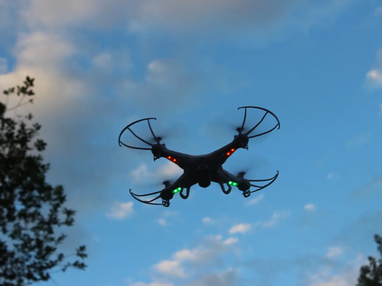
In the world of drones, maintaining accurate altitude readings is crucial, especially in urban areas where Minimum Obstacle Clearance Altitude (MOCA) may be required. The most common method for determining flight altitude in drones is through a barometric altimeter, which detects changes in air pressure to estimate altitude relative to sea level or ground level.
Barometric altimeters, while reliable, have their limitations. Their accuracy is often influenced by atmospheric pressure changes and calibration, typically around ±1 to ±3 meters under typical conditions. Other types of altimeters, such as radar and laser rangefinders, offer higher precision.
Radar altimeters, like the CUAV ISTRA24, can operate with centimeter-level accuracy within their measurement range and high update rates. Laser rangefinder altimeters, on the other hand, often provide the highest precision, typically within a few centimeters.
However, the choice of altimeter depends on the required altitude range, flight conditions, and application needs. For casual use, a few feet of altitude drift may not be a significant concern, and basic IMU calibration should be sufficient. But for mapping applications, precision agriculture, and other remote sensing tasks, high levels of altitude accuracy are essential to prevent inaccurate measurements.
When it comes to maintaining the accuracy of the IMU, periodic calibration is necessary. Circumstances that indicate the need for IMU calibration include the first flight, receiving a firmware update, a nasty crash, a change in altitude of more than 1000 feet, and signs of uncalibrated sensors like instability in hover or altitude readings not returning to zero upon landing.
Modern drones come equipped with automatic IMU calibration modes, but these should be done on a flat surface, away from electromagnetic interference, and with an actual bubble level. For more precise altitude measurements, a ground station that communicates with another module onboard the drone can provide centimeter-level accuracy through the Real-time Kinematic (RTK) or Post-Processing Kinematic (PPK) workflow.
In controlled airspace, drone flights are typically restricted to altitudes below 400 feet AGL to avoid interfering with manned aircraft operations. In cases where accurate altitude readings are needed, additional protocols may be necessary, such as periodic IMU calibration.
Despite the best efforts to maintain accuracy, drone altitude readings can still drift over time. Mapping applications require altitude inaccuracies of up to 10 feet to be offset, which can be achieved with established data correction protocols like Ground Control Points (GCPs) or a ground station.
In conclusion, understanding the mechanisms behind drone altitude measurement and the importance of IMU calibration is crucial for both casual and professional drone users. By ensuring accurate altitude readings, drones can fly safely and provide reliable data for various applications.
[1] Drone Altimeter [2] CUAV ISTRA24 Radar Altimeter [3] LIDAR Altimeter [4] Ground Control Points [5] Laser Rangefinder
- The CUAV ISTRA24 Radar Altimeter, an advanced piece of drone technology, can measure altitude with centimeter-level accuracy, providing essential precision for mapping applications and other remote sensing tasks.
- For more accurate altitude measurements, many drone users turn to the usage of Ground Control Points (GCPs) or a ground station, which can offset altitude inaccuracies up to 10 feet in mapping applications, thanks to established data correction protocols in the drone technology.